Towards the skärgård of Sweden's east coast
Spray flew and glittered in the sun, rays reflected in the water, steep waves rolled at a steady pace under Coelacanth’s stern. The coast of the Hanöbukten had long disappeared and the anemometer climbed from Beaufort 6 to 7. We had just taken a second reef in the main and rolled in the yankee sail. Still below the horizon, a flat rocky island, marked on the chart with a lighthouse, should come into view within a few hours on our course of 058°.
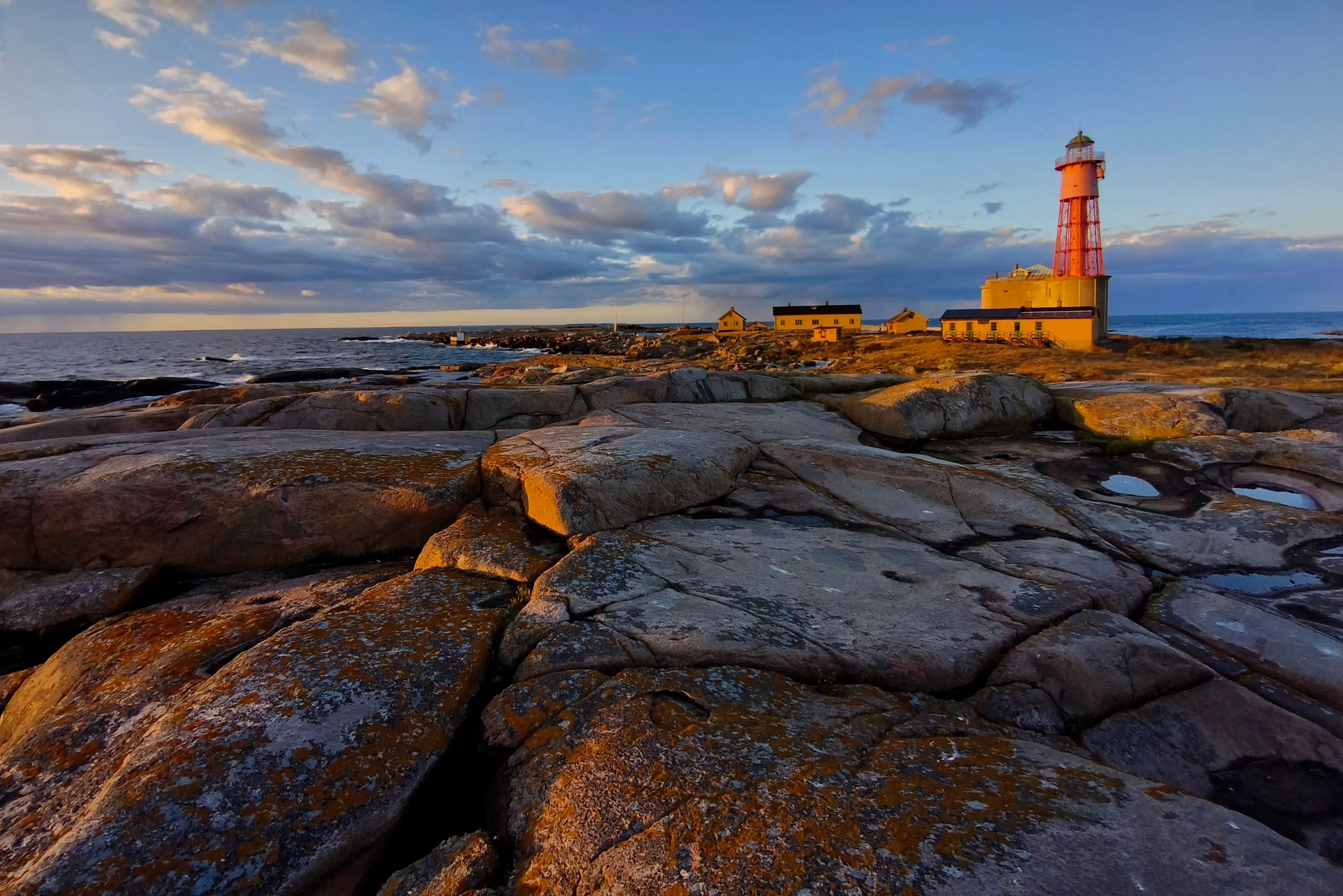
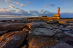
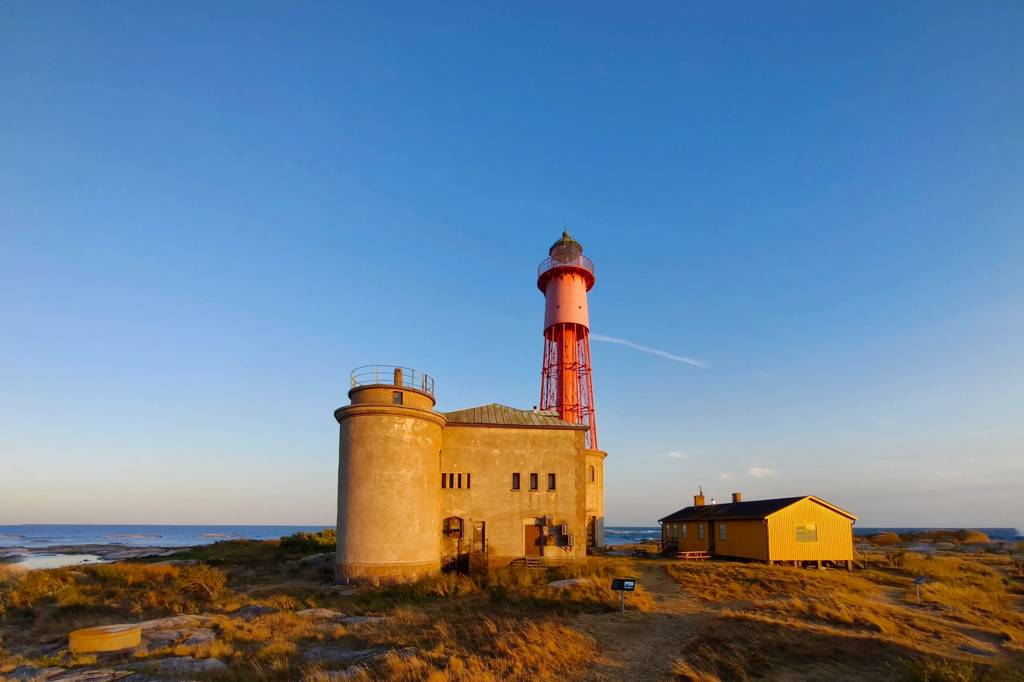
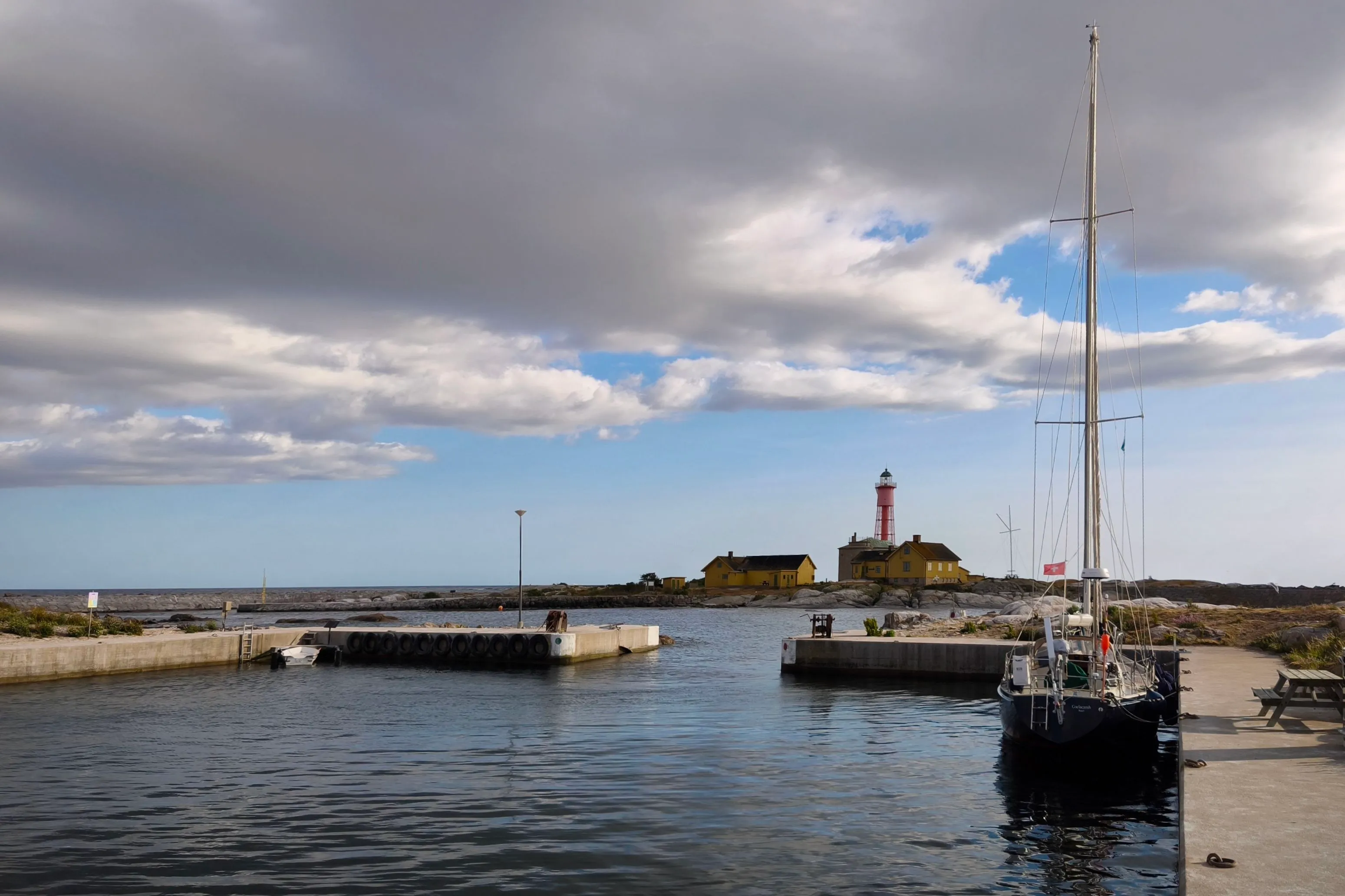
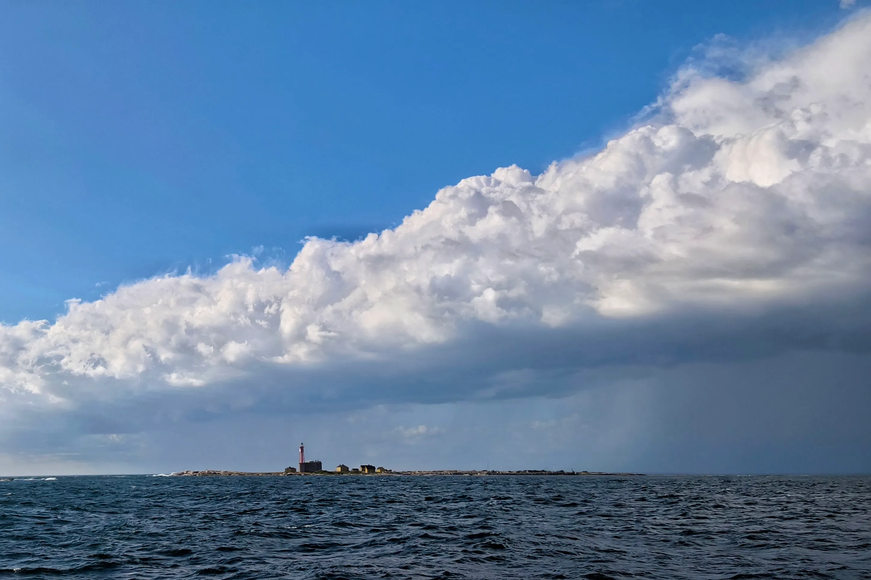
The island of Utklippan with the lighthouse built in 1870. A light station had been there since 1789.
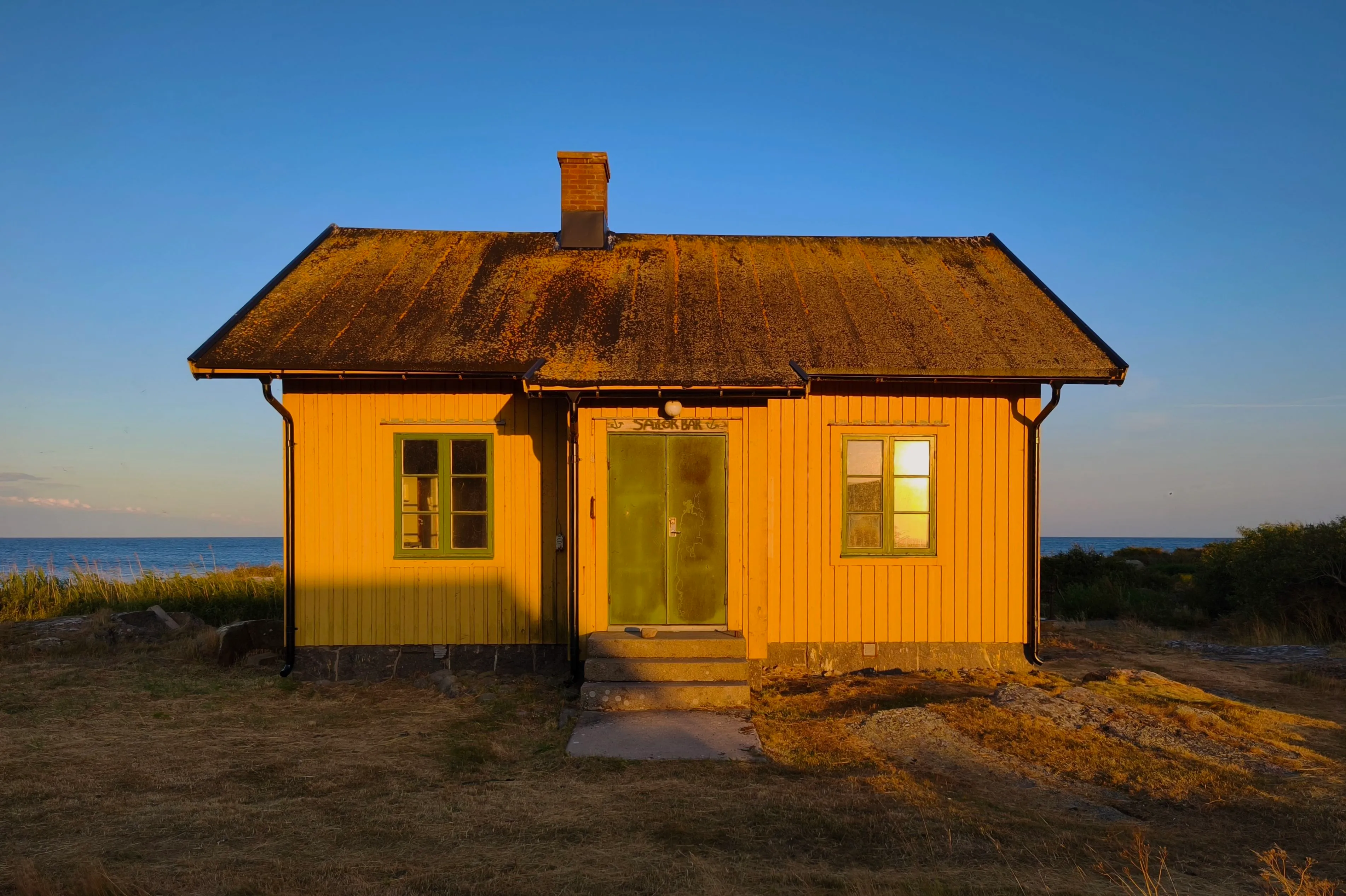
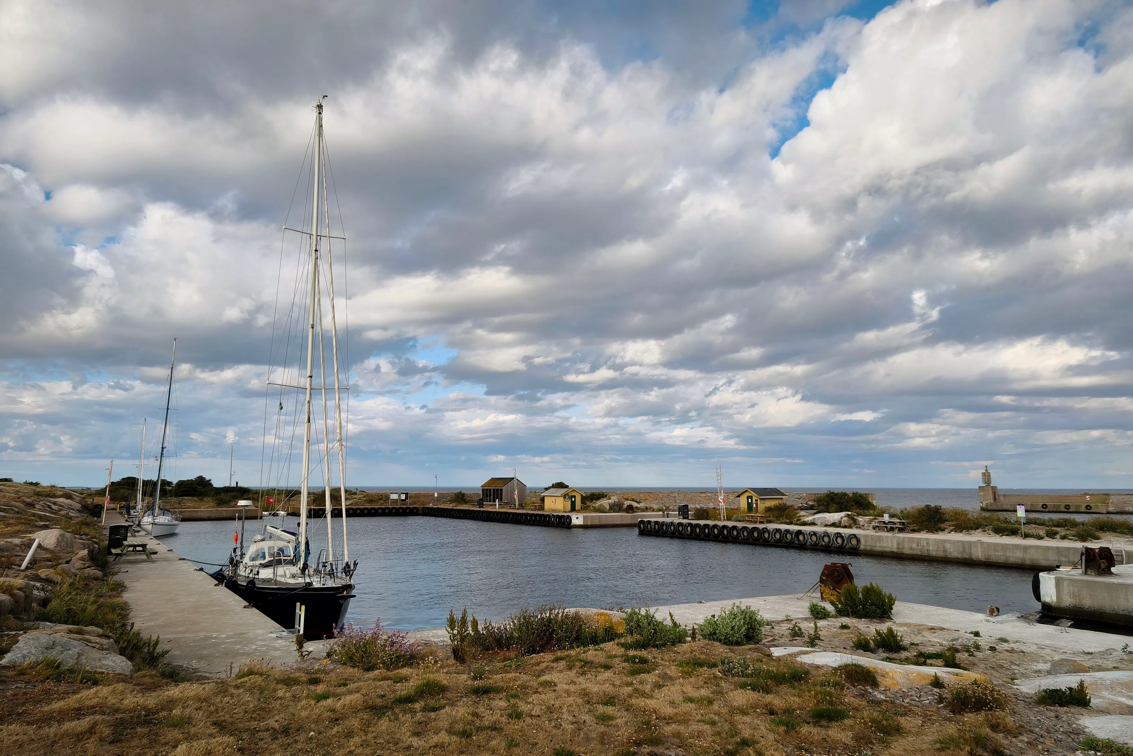
Utklippan consists of two skerries about a dozen miles away from Karlskrona on the Swedish mainland. On the south skerry, Södraskär, there’s a lighthouse. A light station had been there since 1789, and the current tower dates from 1870. In the north skerry, a basin was excavated from the granite for mooring the lighthouse keeper’s boat.
In the lee of the island, we took down the main sail and approached the entrance. Utklippan has two entrances, and the windward one had the waves rolling in and breaking at the rocks – not the side one wants to try under these conditions. We moored in the corner of the basin and rowed to the south skerry with the lighthouse. Birds cried, gannets stood still in the howling wind. The sun went down behind pink puffy clouds and rocks shaved by glaciers thousands of years ago.
A madeleine of pine
A few days before, we had left Denmark’s Klintholm on the island of Møn, passed the white chalk cliffs, and sailed to Gislövsläge on the Swedish south coast. The gennaker once again allowed us to sail instead of motoring in the faint breeze, and when the wind increased to 8-9 kts, Coelacanth accelerated to 6 kts.
In Gislövsläge, a gale kept us weatherbound two days longer than planned; we used the time for provisioning and laundry. Despite the time of year, the Dickinson diesel heater had to provide coziness in the evening.
Finally, we sailed on along the south coast to Simrishamn. Having the wind from astern, we gybed several times to improve our speed on a beam reach. The south coast of Sweden is flat and we could smell the forest from miles off at sea – the scent made us imagine the landscape we would soon reach: pines on skerries with hidden anchorages. A madeleine in reverse – scent summoning a place not yet seen.
Since arriving in the Baltic, messages had come in on our self-built, Pi-based Navtex receiver Ilma with navigational warnings about possible GPS jamming. Heeding the advice to be prepared, I took a sextant sight providing a position line 0.2 nm off the GPS position.
JA18
021059 UTC JUL
BALTIC SEA NAV WARN 026/25
SOUTHERN, SOUTHEASTERN, CENTRAL AND NORTHERN BALTIC, GULF OF FINLAND, GULF OF RIGA AND SEA OF AALAND.
GNSS, AIS, RADAR AND DGPS INTERFERENCE OBSERVED IN AREA.
MARINERS ADVISED TO EXERCISE CAUTION
AND BE PREPARED FOR NAVIGATION IMPACTS.
CANCEL BALTIC SEA NAV WARN 023/25
At the cape marked by the Sandhammaren lighthouse, a German yacht under just a large genoa overtook us running downwind. But then the wind increased from force 4 to 5 and we could trim in the sails to a beam reach. Coelacanth only accepts challenges to a race if the wind is at least force 5; she accelerated and took the lead. The following 13 miles were a head-to-head race with the other yacht falling back slightly, then making good some of the lost metres but never overtaking again. Sadly, they did not enter Simrishamn and we never found out the build of that fast ship. A last wave goodbye, and off they were.
We moored in the town’s marina, took a walk through the cobbled alleys, and devoured a large plate of spaghetti before falling into our bunks. The next day, we would cross to Utklippan.
Autumn in July
After a well sheltered night, we cast off early, leaving the island of Utklippan behind. We turned towards Kalmarsund wearing woolen hats and gloves. The water temperature had been 21°C in the Danish archipelago under the heat of the high pressure system. At the Swedish coast, water temperature had suddenly dropped to 8°C after the gale, the sea churned up by wind and waves.
We had made good progress in Sweden: 157 nautical miles in the first three day-sails from Gislövsläge to Simrishamn to Utklippan to Kalmar. The stern buoy system of mooring was new to us, but soon we lay in Kalmar’s marina, right in front of the university building. In the chandlery opposite, we bought additional charts; the Swedish båtsportkort series provides the details one needs when entering the skärgård.
That evening, the charts lay on the chart table, the first page open but still forbidding, a maze of hidden rocks and unnamed skerries. Soon we would sail in. Tonight, the diesel heater’s warmth had to suffice – pressure had dropped rapidly and another gale had to pass.