Anchored in the skärgård
The water was a dark emerald, almost black. There was hardly any reflection in the fading light. The air was cool after the last sunrays had just disappeared behind the dark forest that surrounded the lagoon. A heron glided through the air and took position on a stone at the bank. The imagined scent of pines had become real – we were finally anchored in the skärgård of the Swedish east coast.
Solberganäset is a natural harbour so protected from every wind direction that almost feels like a pond. The surrounding red granite was widely exported and used for busts and columns in banquet halls. To enter this place, we had to move around red sticks that looked like a slalom course, only metres from the banks of the skerry. When we glided around the corner, a red house appeared with children playing under the trees – a scene from an Astrid Lindgren book. In the tight entrance of the protected anchorage, a last rock luring below the surface had to be passed. The anchor fell, then we lay still.
Close-hauled, bashed by waves, and circled by a SAR aircraft
The way into the skerries from Kalmar hadn’t been an easy ride. The wind came from the north without any hint of an upcoming change. Our stubbornness to tack against it in the Kalmarsund was met with short and steep waves clashing against Coelacanth’s bow, slowing her down when she just had bravely accelerated. Everything gets difficult when sailing close-hauled: the bow dances up and down, the ship heels and you cannot get a cup of tea without acrobatic exercise. Finally, we called it a day and bore away to Borgholm on the island of Öland for the night.
The next day didn’t bring the change in wind we were hoping for; indeed, the northerlies persisted for a week. Tack after tack we didn’t make much progress. Then suddenly, a roaring noise from above – a low-flying airplane! It almost seemed to collide with Coelacanth’s mast, then briskly turned away. Then the plane reappeared twice and circled around our stern, presumably trying to read our ship’s name. We spotted the plane’s icon on the AIS screen – a search-and-rescue plane. Had we missed a radio message? The VHF radio wasn’t audible in the noise of the headwind. Was there a ship in distress? Had the Navtex warnings about GPS jamming become real and caused an incident? Or had it simply been a routine check?
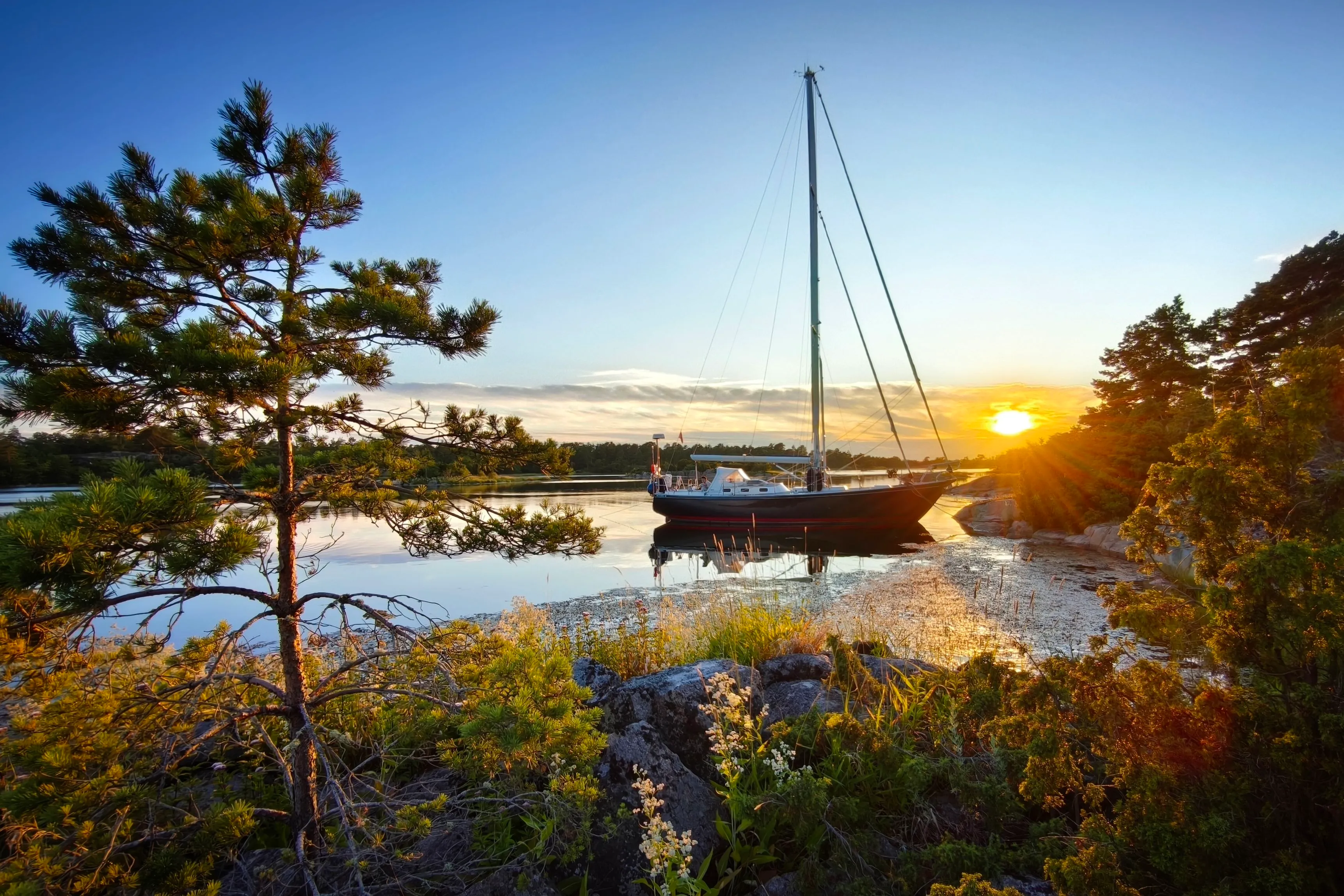
The sun sets after ten o’clock in the evening in these latitudes, Strupö.
Islands with pilots
At Kråkelund, we entered the skärgård. We had spotted a protected anchorage and couldn’t believe we had such a beautiful place to ourselves: Strupö, an island with a long history of pilots, held a perfect anchorage. Slowly, we approached a granite rock with a steep forehead indicating deep enough water to allow us to moor bow-towards, while the stern was held in place by our Fortress anchor. A jump onto the rock, where two lines were secured using skerry irons.
The nights never get dark in these latitudes. When I awoke the next morning, there was fog lying over the lagoon that was burned off by the sun. As soon as we could discern the rocks again, we were off towards Idö, where a young and energetic harbourmaster took our line. He very kindly organized a washing machine for us in a small hut that was actually private. He asked us where we had come from and was delighted to hear how much we had enjoyed Strupö, the island of his origin. When asked if he planned to enter the profession of piloting, as it was customary, he explained that the last pilot had been active in the 1950s.
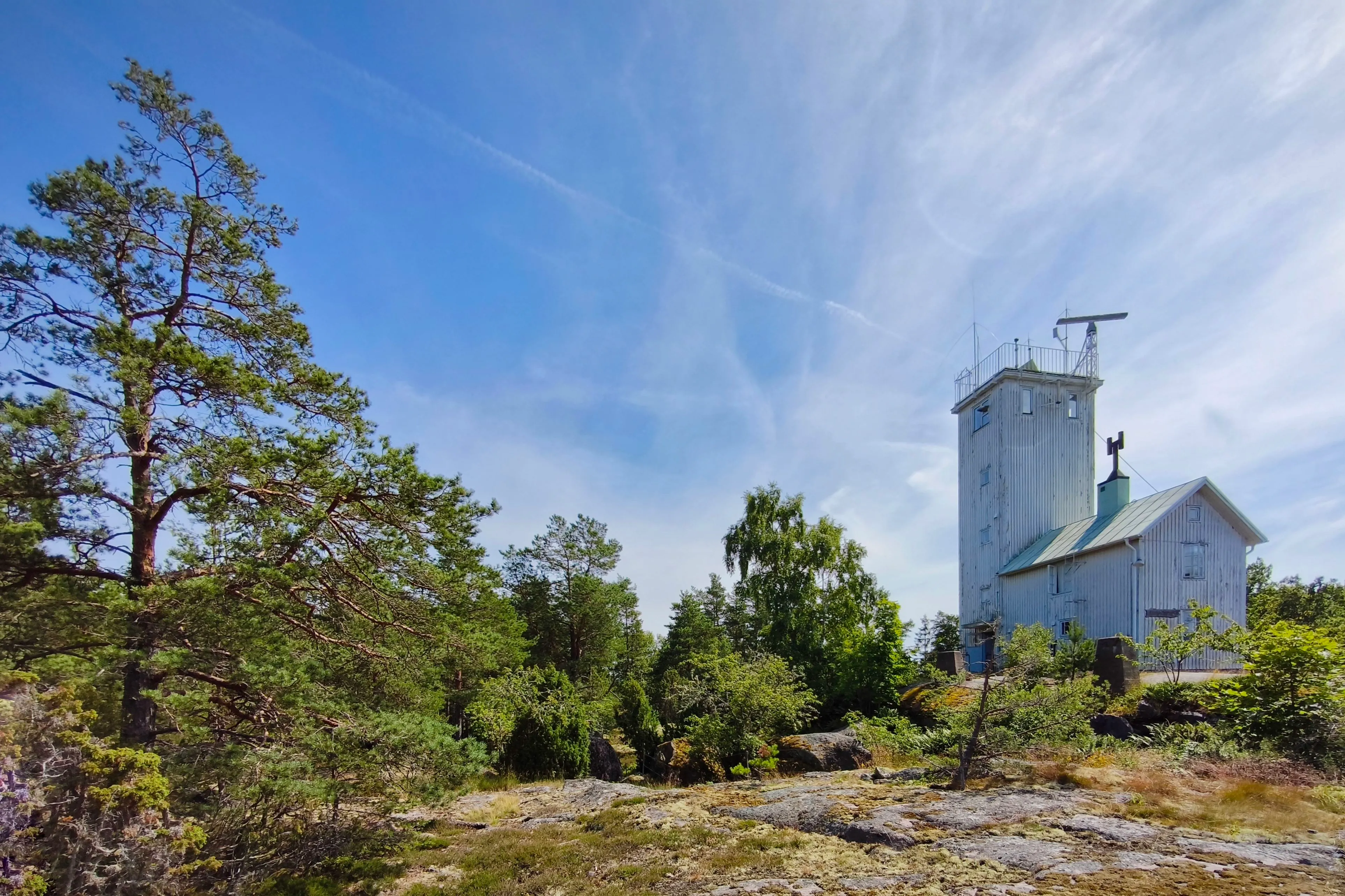
Idö has a tower built where pilots used to spot approaching ships. We climbed to the top and were rewarded with a view over the skärgård. A maze of skerries that is hard to navigate in fair weather – how treacherous must it become in fog and rain? But a sailing route through these waters along the Baltic east coast was already described in the 13th century. As described in Kong Valdemars Jordebog, King Valdemar II of Denmark sailed via Arholma to the Åland islands, Kökar and Tallinn; in 1219, he extended the Danish empire as far as Estonia. Since Valdemar, postglacial land uplift has been around three metres; new skerries and rocks have appeared – providing work for pilots.
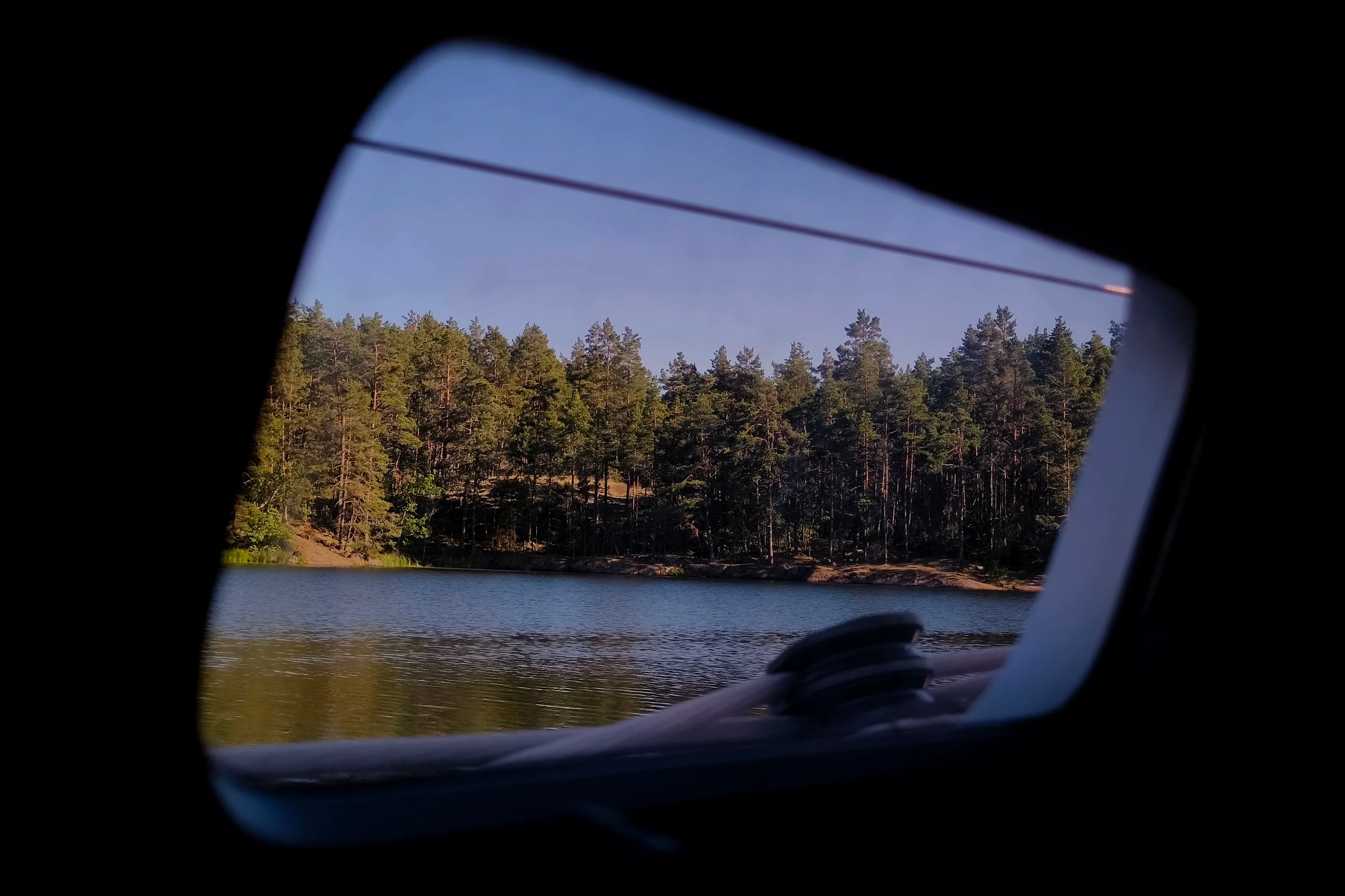
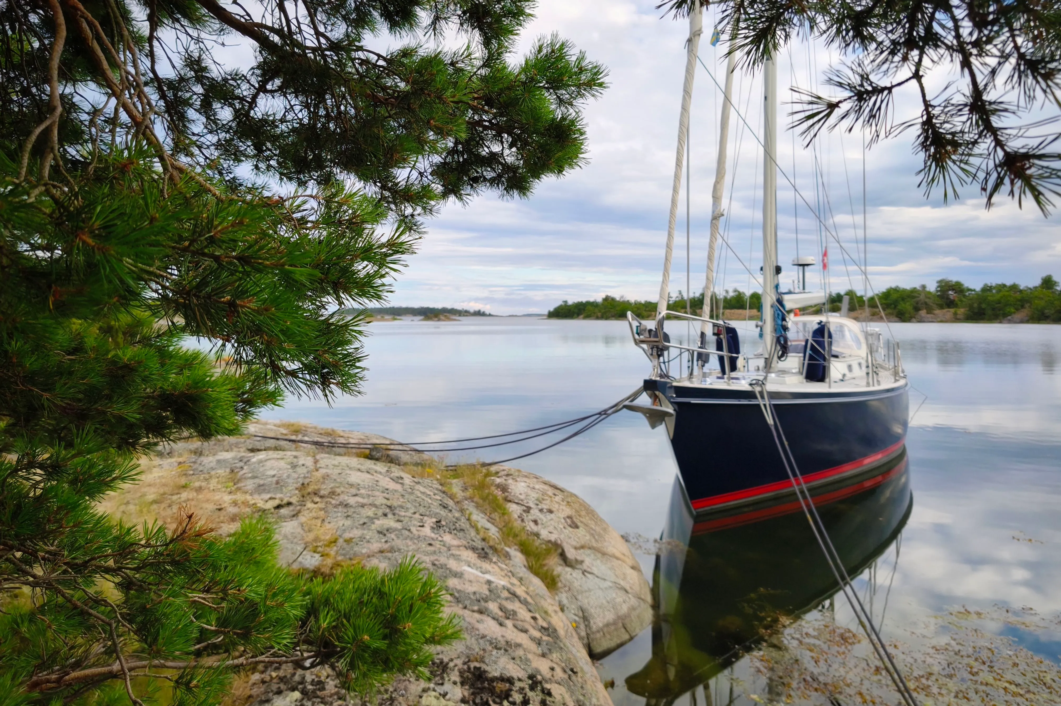
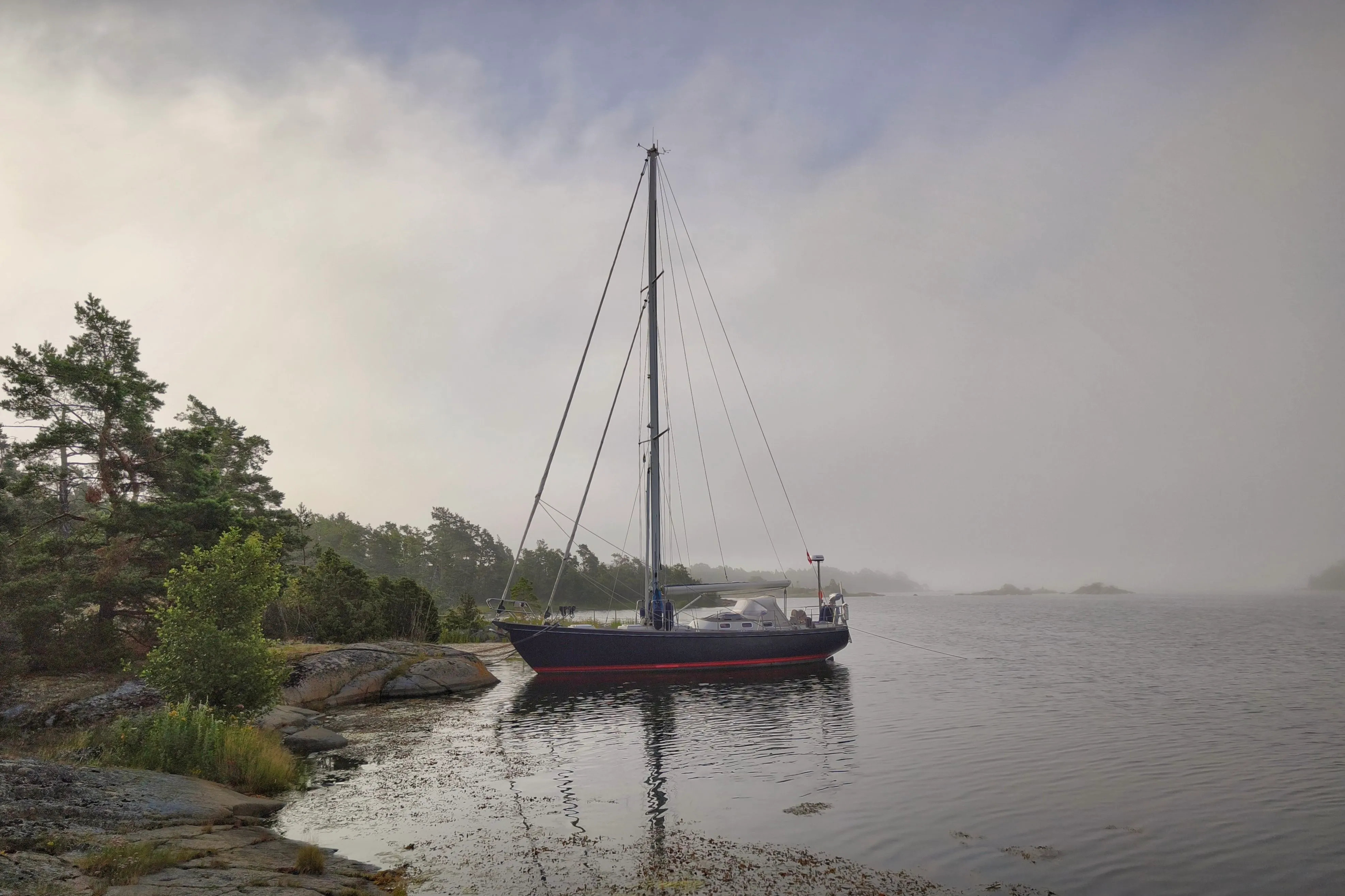
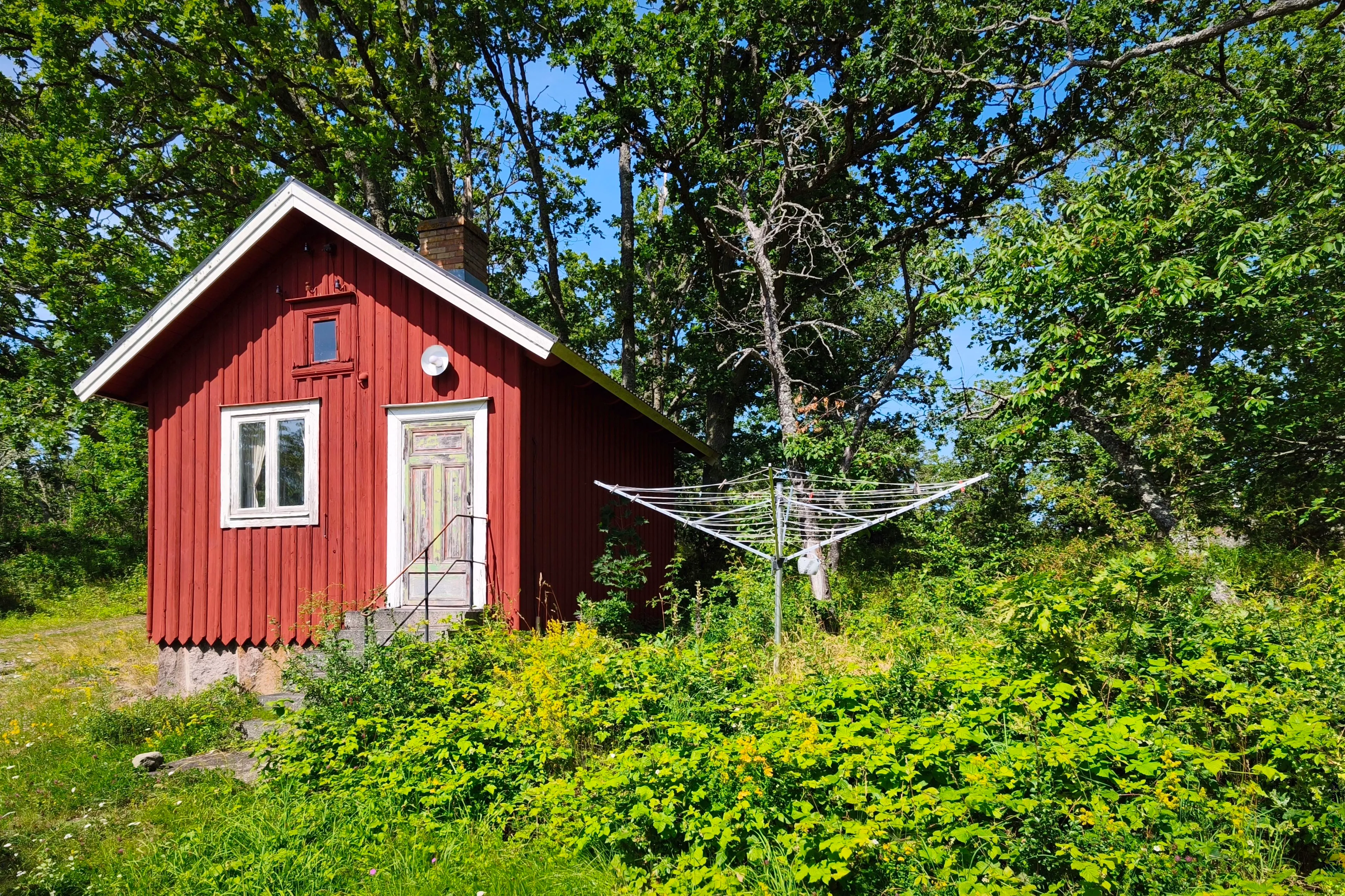
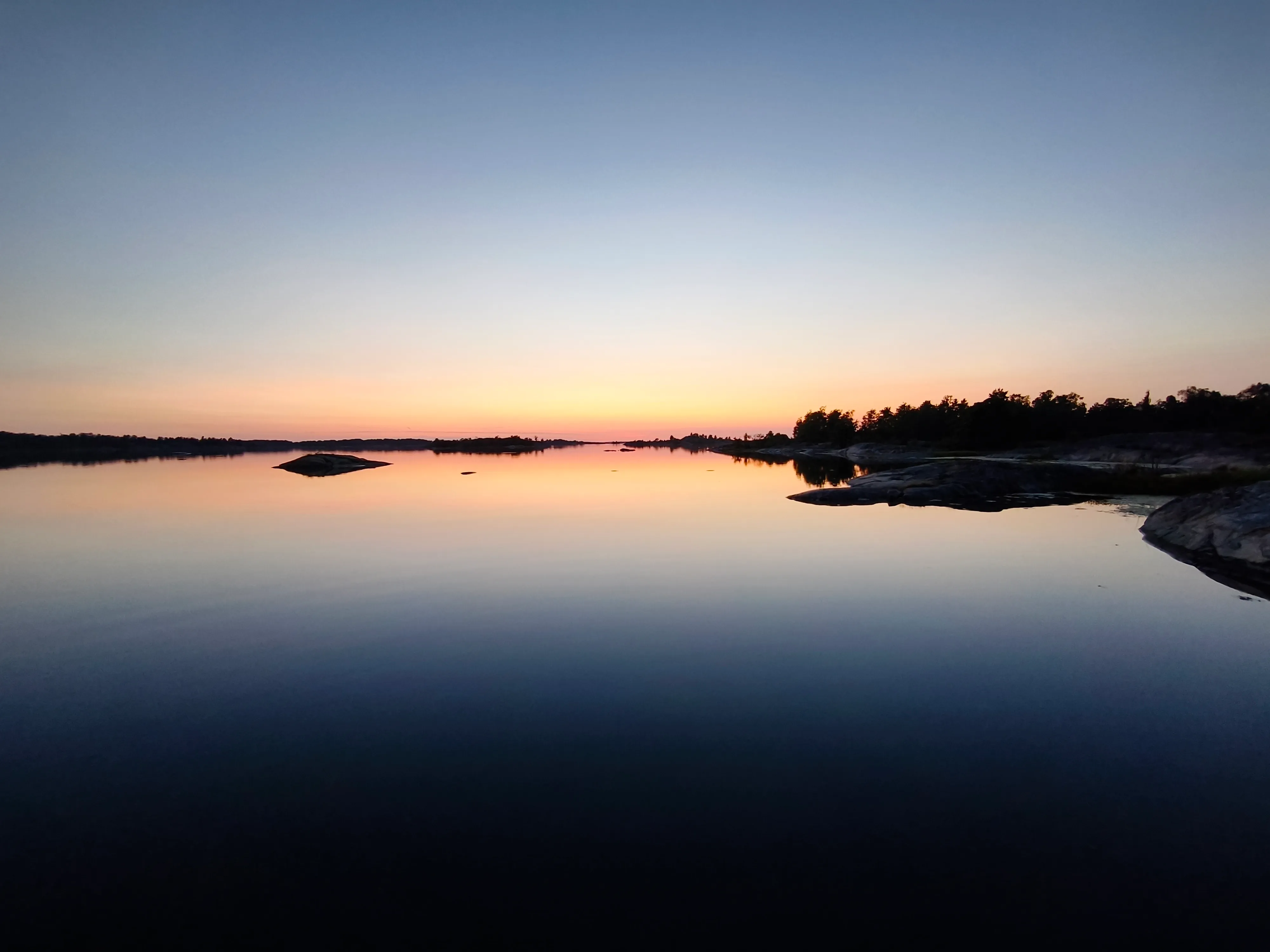
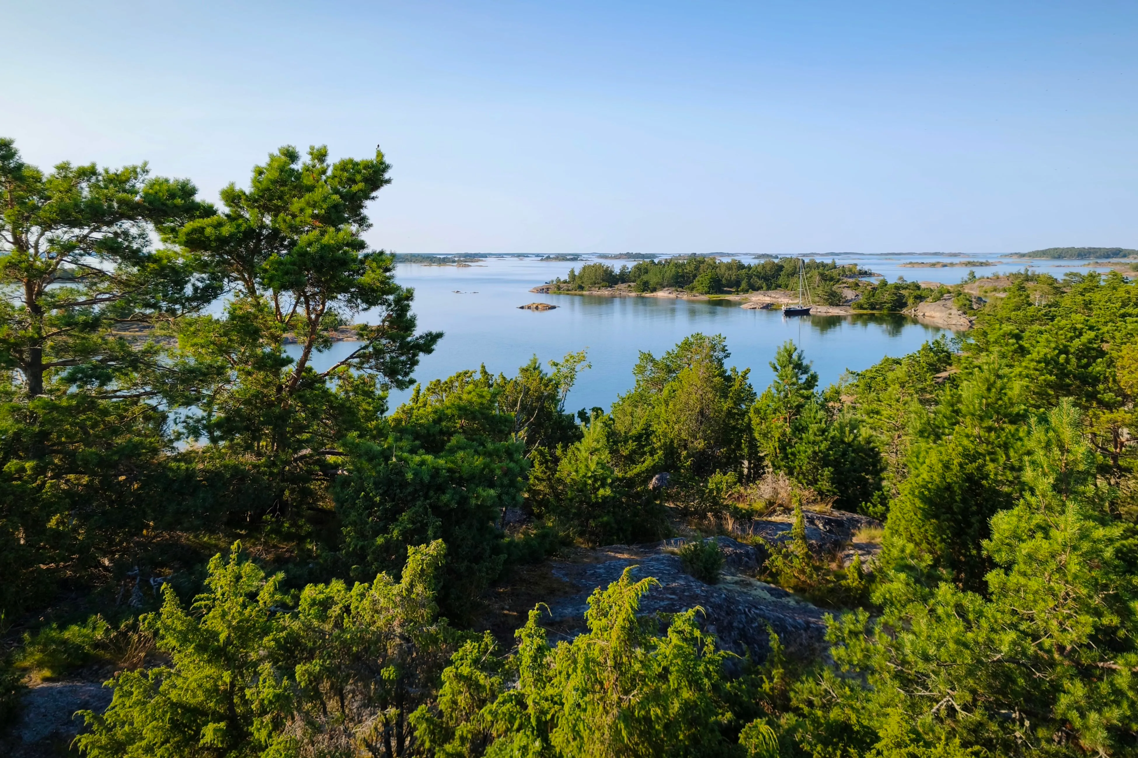
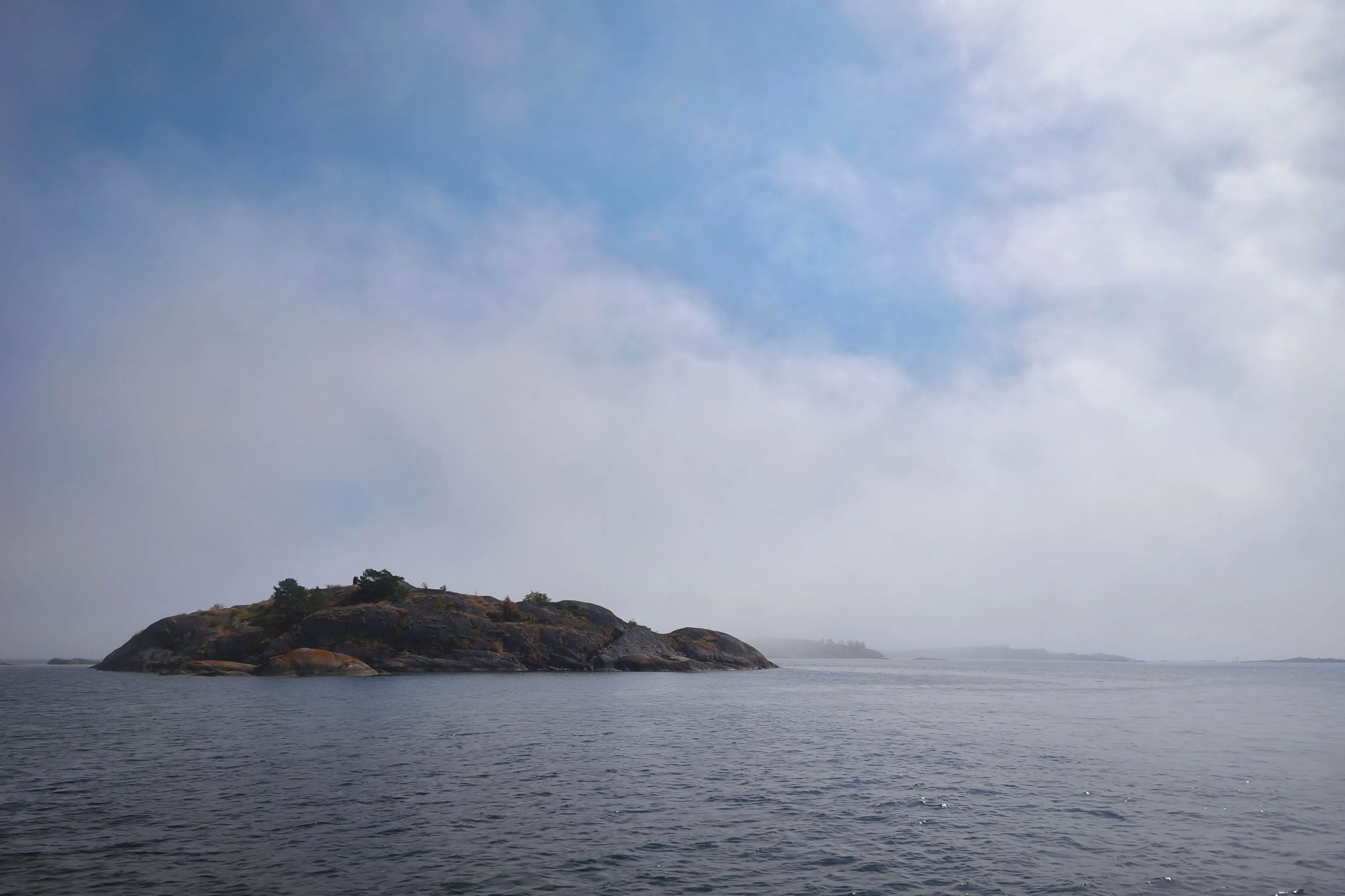
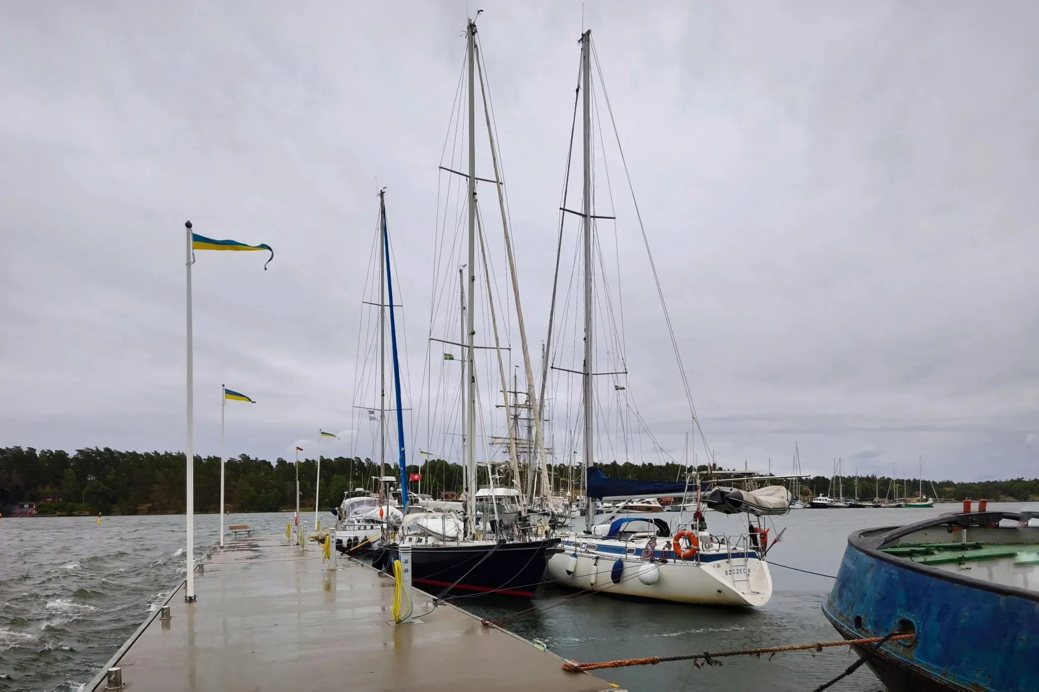
Then came the summer days in calm anchorages and moorings in the skerries. Eighteen hours of sun that rose long before the first swim in the morning and only set late behind the silhouette of the island’s forest. Bokö, Kupan, Ålö, and Ringsön melted into a memory of warm rounded granite mixed with the scent of pine needles, moss, and lichen.
The further north we pushed, the more populated the skärgård became. Then the weather forecast warned about a developing near-gale. On our way to the marina at Nynäshamn, sudden sea fog appeared and obscured the skerries for seconds, alternating with glowing sunrays. It was the skärgård giving a taste of the disorientation one might face when the weather turns foul. The fairway that seems so easy becomes riddled with hidden rocks.
We moored at the last empty spot at the rather unprotected outer dock at Nynäshamn, relieved despite the unsettling wake of the huge ferries departing to Gotland or Poland. We spent a last sunny evening before the approaching gale in the Rökeri at the waterfront enjoying smoked seafood and Swedish beer.